Delft researchers develop technology to make the work of emergency responders easier and safer. Last week they turned the campus into a conflict zone to test their technology.
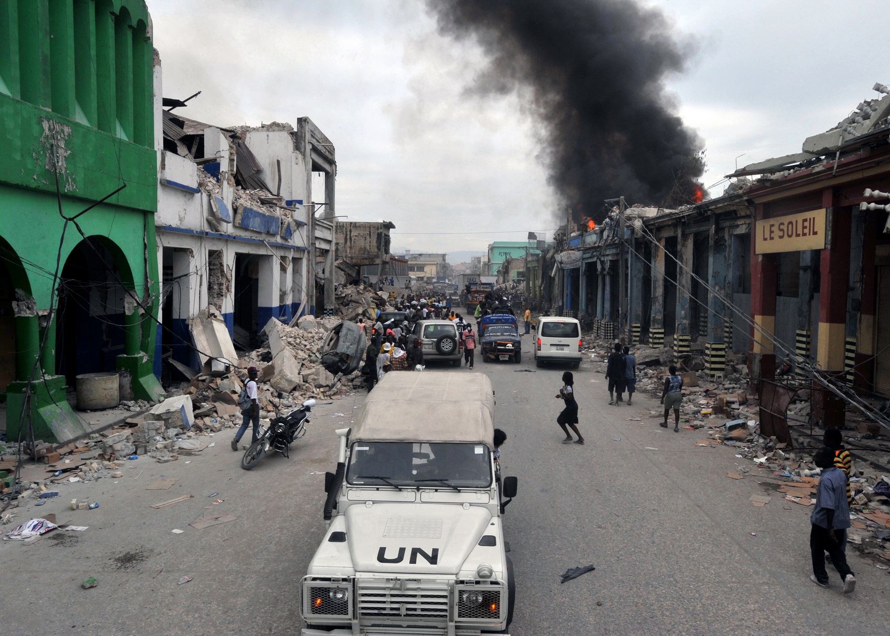
In a crisis situation, getting reliable information to aid workers quickly can make all the difference. Aid convoy in Haiti in 2010. (photo: Wikpedia)
A violent mob is blocking the road just a couple of hundred metres ahead. Luckily for us, we are aware of the situation and can take an alternative route. “Turn right and head over the bridge,” says human rights worker Olivia Iannelli, of the British data consultancy firm Trilateral Research, to the driver of one of the convoy vehicles transporting rice and medicines. On her smartphone, information on the situation in this crisis area is popping up as we go.
“This app that gives alternative routes is really handy,” says Samer Jaradat of the NGO Save the Children from the back seat of the car with which we are cruising through campus. A campus that has been turned into a crisis zone. Virtually that is. “Be careful, there may be some landmines ahead,” Iannelli says.
Reliable information crucial
In a crisis situation, getting reliable information to aid workers quickly can make all the difference between having to hand over aid goods to rebels, or being able to deliver them to refugees for instance. Or between life and death of the aid workers themselves. To make the work of emergency responders easier and safer, Delft researchers, a large group of scientists from institutes around the world and NGOs have been working for three years on technologies that can be used in the field. Last week, these technologies were tested on campus.
Collecting and sharing sensitive information
The leader of this European Horizon 2020 project, called iTRACK, is Dr Tina Comes of TPM. “An important element is collecting and sharing sensitive information,” she says. “We are simulating situations in which you have to find your way past checkpoints and roadblocks. Participants are assigned roles as emergency responders and coordinators.”
Besides TU Delft, Comes works for the Centre for Integrated Emergency Management of the University of Agder in Norway and is a senior research fellow with the Harvard Humanitarian Initiative.
App combines data
An important instrument to help aid workers during any aid relief process is an app which all aid workers in a certain area should eventually be able to use to share information. The app combines relevant information from social media, data from aid workers from different organisations, satellite imagery, and so on.
You might expect something like this to be up and running already, but that is far from the truth. “Every organisation uses its own information system,” says Manuel Fiol of Unosat, which does satellite imagery analysis of dangerous areas, such as Syria. “This iTRACK project is very promising as it could very well result in the first overarching information platform for aid workers.”
AI that recognizes checkpoints and drones
iTRACK also developed artificial intelligence that is able to recognise potential threats such as checkpoints and drones. For this a camera is installed on the roof of the car.
“I wouldn’t use the camera in Iraq,” says Samer Jaradat of Save the Children. “If you are filming you will be put in jail. But all-in-all I like the iTRACK instruments. The main disadvantage is that it does not yet work offline for long periods of time.”
iTRACK actually does support offline mode. But because information is cached and updated when the system comes online again, the technology does not support days and days without internet.
The researchers are still working to ameliorate this. One of the technologies in development is a navigation system without GPS that works on the basis of video, with waypoints.
Small cameras
“We are very much aware that the use of any technology can constitute a risk as Jaradat pointed out”, says Comes. “If a humanitarian organization will use cameras, they will use small versions that are installed in the vehicles not visible from the outside. The current set-up was only designed for testing purposes.”
“Not all features of iTRACK are useful for all situations,” Iannelli asserts. “The idea is that it is modular. Some features will be useful in certain contexts whereas you should avoid them in others.”
The camera on the roof of the first car in our convoy suddenly recognises a checkpoint a few hundred meters ahead with the help of the AI and comes to a halt. Consultations are held with headquarters on what to do next. From the available information, the conclusion is that it is safe to continue. And on we go to the people in need to the people in the Green Village.


Comments are closed.