Students from the geoscience and remote sensing track have been recording the geophysical activities on Iceland from 23 June to 5 July. “New land is being made here.”
“Our house was on the American plate, and we mostly worked on the European plate”, says master student Noud Brasjen. The widening ridge between these enormous plates runs under the island from Reykjavik in the South to the Krafla region in the north. Here, new cracks in the ground open up every few months. “Sometimes, there’s steam coming from the mountain, or from a new spot near the river. You can actually see new land being made here”, says Brasjen. Icelanders estimate their country grows by 2 centimetresper year.

Because of the manifest volcanic activity, the Krafla region is a popular site for geothermal power plants that convert heat into electrical power. Two plants are producing; another one has been taken into consideration. Local people are concerned that another plant may cause accelerated subsidence because of the loss of groundwater.
“It’s a complicated region”, says dr.ir. Sandra Verhagen, who joined the fourteen students (twelve from Delft and two from Iceland) during the measuring campaign. “There’s the basic widening of the rift, there are rising and falling magma chambers of the volcanoes, and there may be the human factor of the geothermal plants and changing loads of land ice.” No single measurement can disentangle that geophysical complexity.
So, first of all, the measurements are part of a series that has been set up by the University of Iceland some twenty years ago. They’ve set up a network of marked points in the landscape of which the position will be determined.
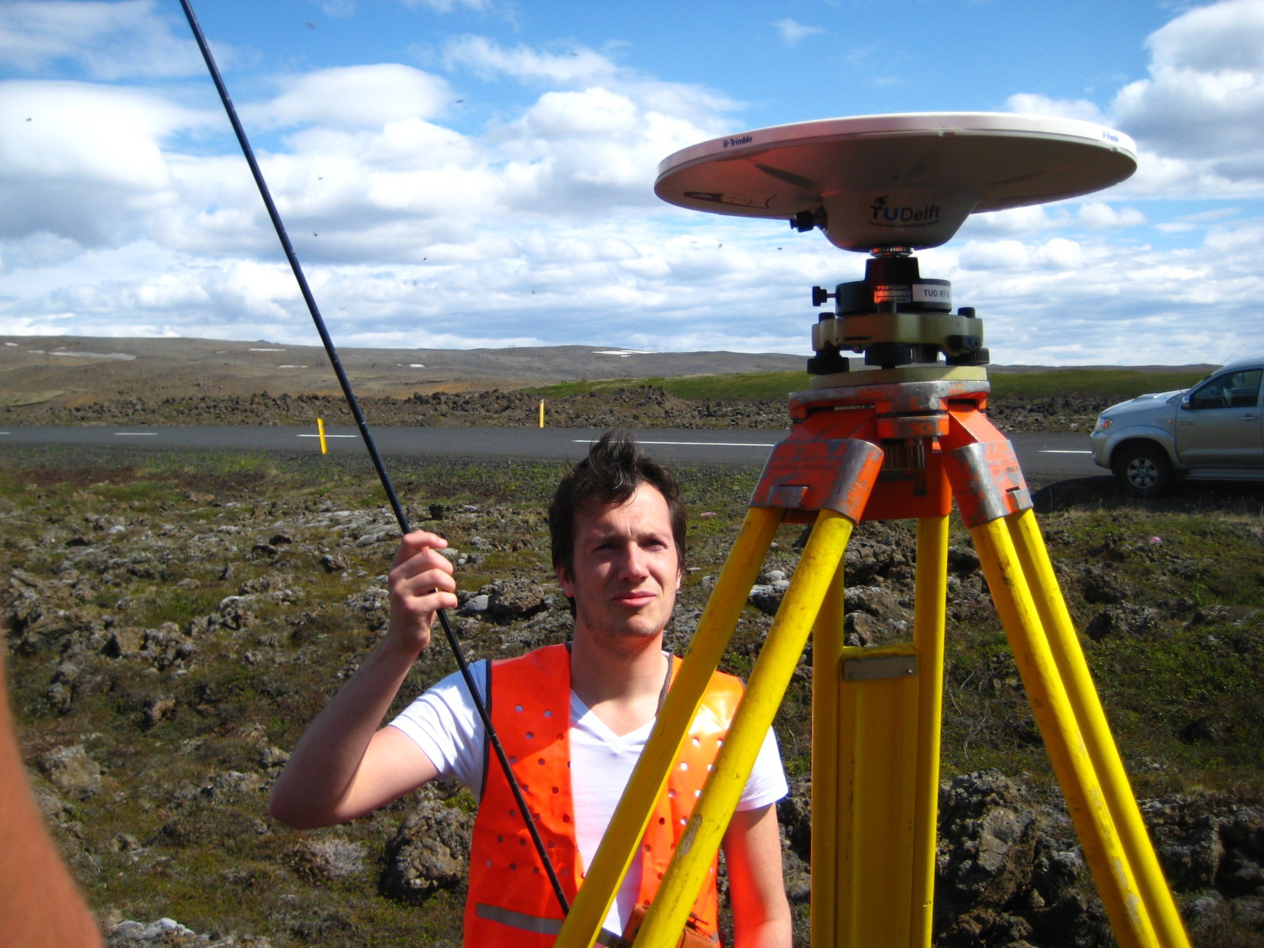

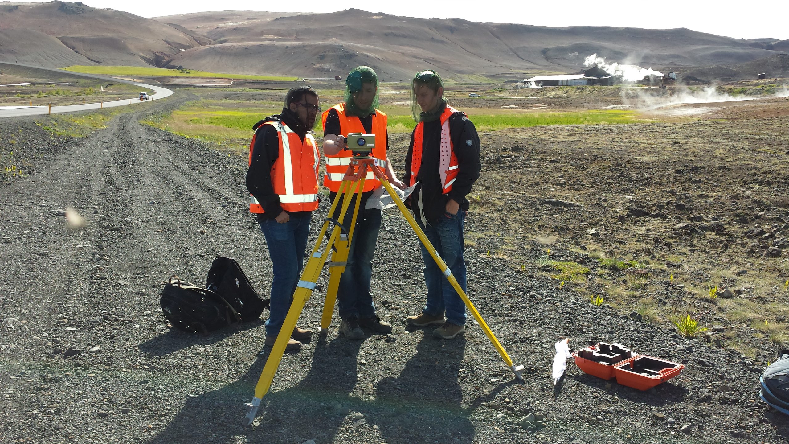
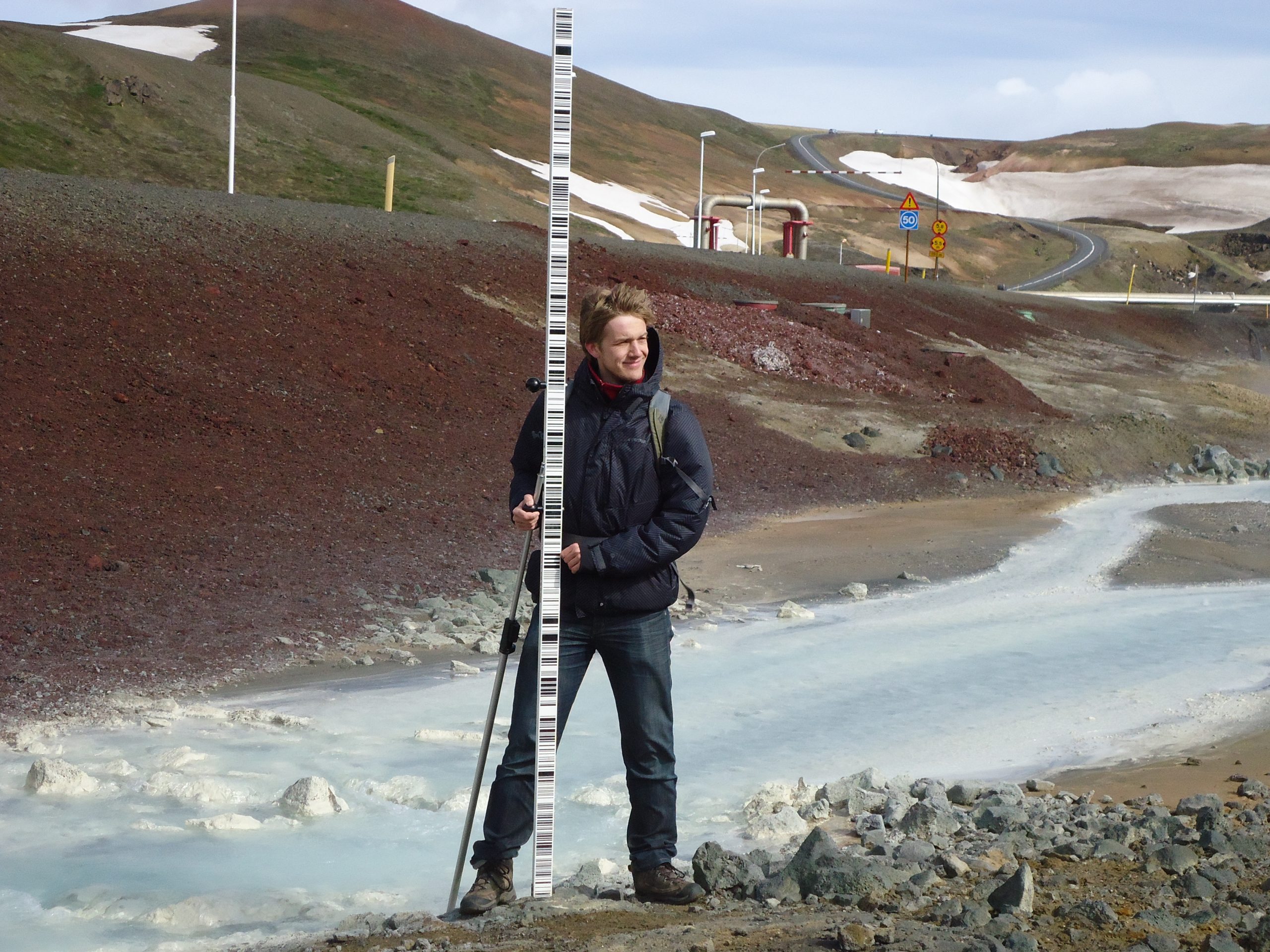
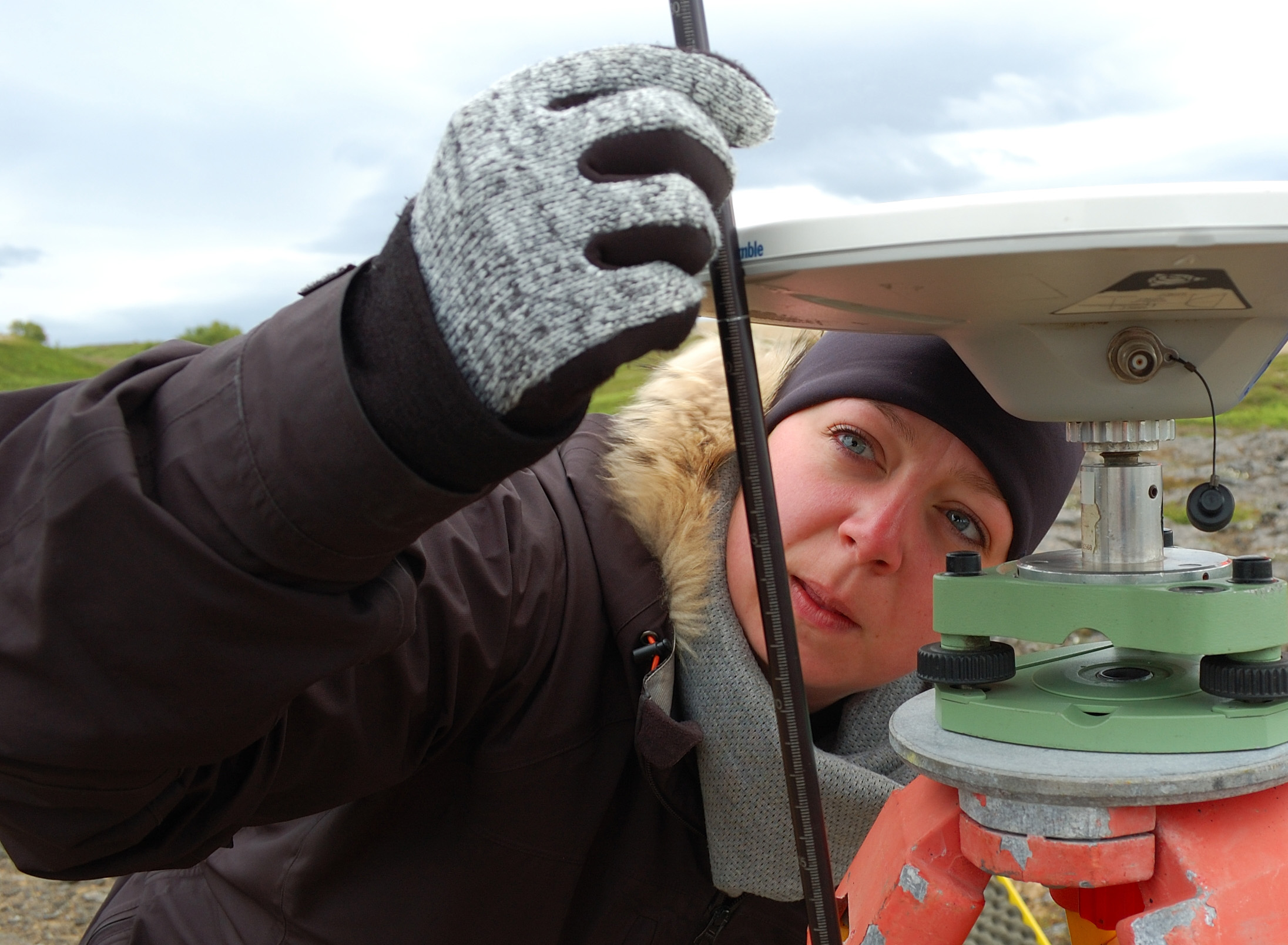
To do that, a tripod has to be positioned at exactly the right spot above a marker in the rock. To measure with centimeter precision (as GPS provides), you need to position your equipment within the millimeter – which may take 20 minutes – and leave it recording for a day and a half. Even more precise measurements of local height differences on the millimeter may be measured by the classic leveling.

Another piece of equipment that provides clues on underground activities is the gravimeter. A dull looking but very expensive gray box that has to be held like a baby during transport. It can measure gravity (9,81… m/s2) in 10 decimals, but it takes an hour and a half to do so (a half hour quiet down followed by six ten minute sessions).
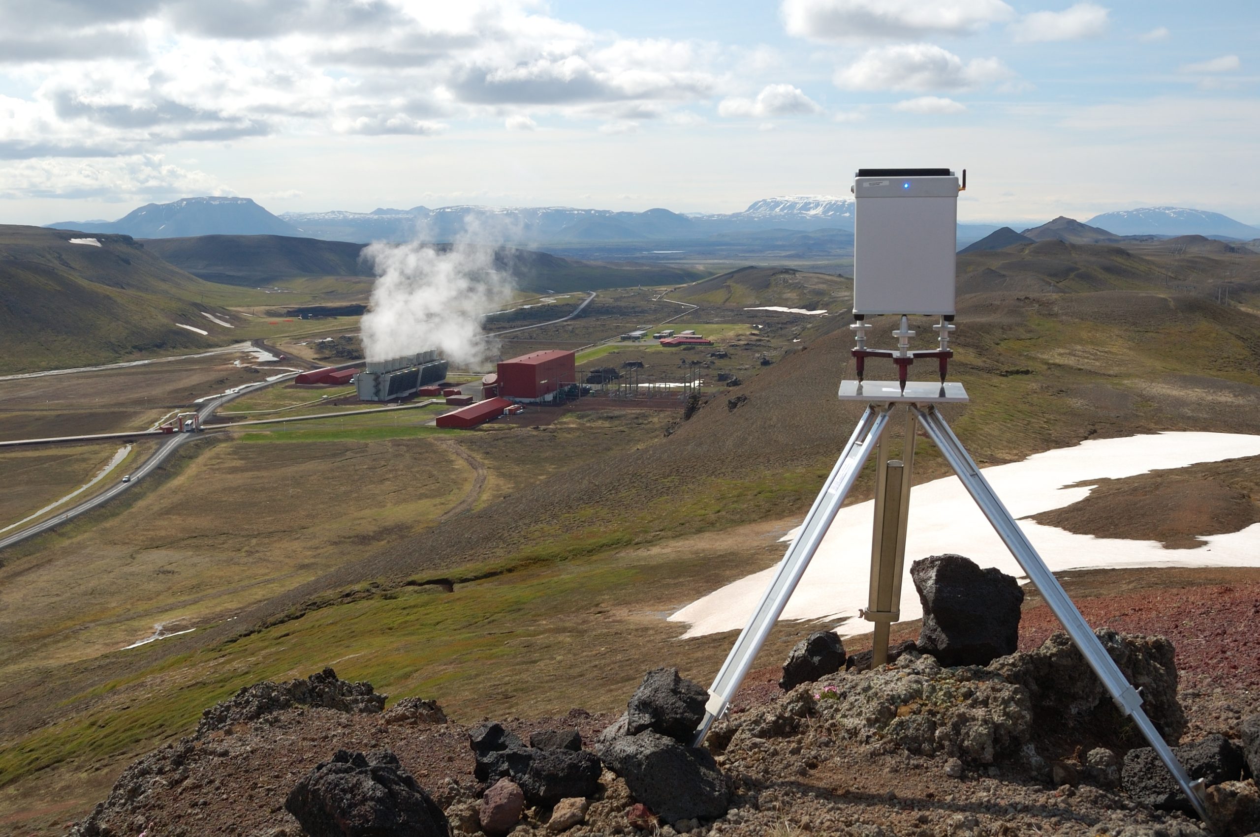

“Differences in gravity between points give information on the amount of mass underneath”, explains Verhagen. “Changes in these values indicate mass changes in the ground.”
Students gave a preliminary presentation of their fieldwork at the Krafla power plant on 5 July. The owner of the plant, Landsvirkjun, has special interests in the results, as do the people in the surroundings. “Our data may either reassure them, or become an argument in their debate”, says Brasjen.
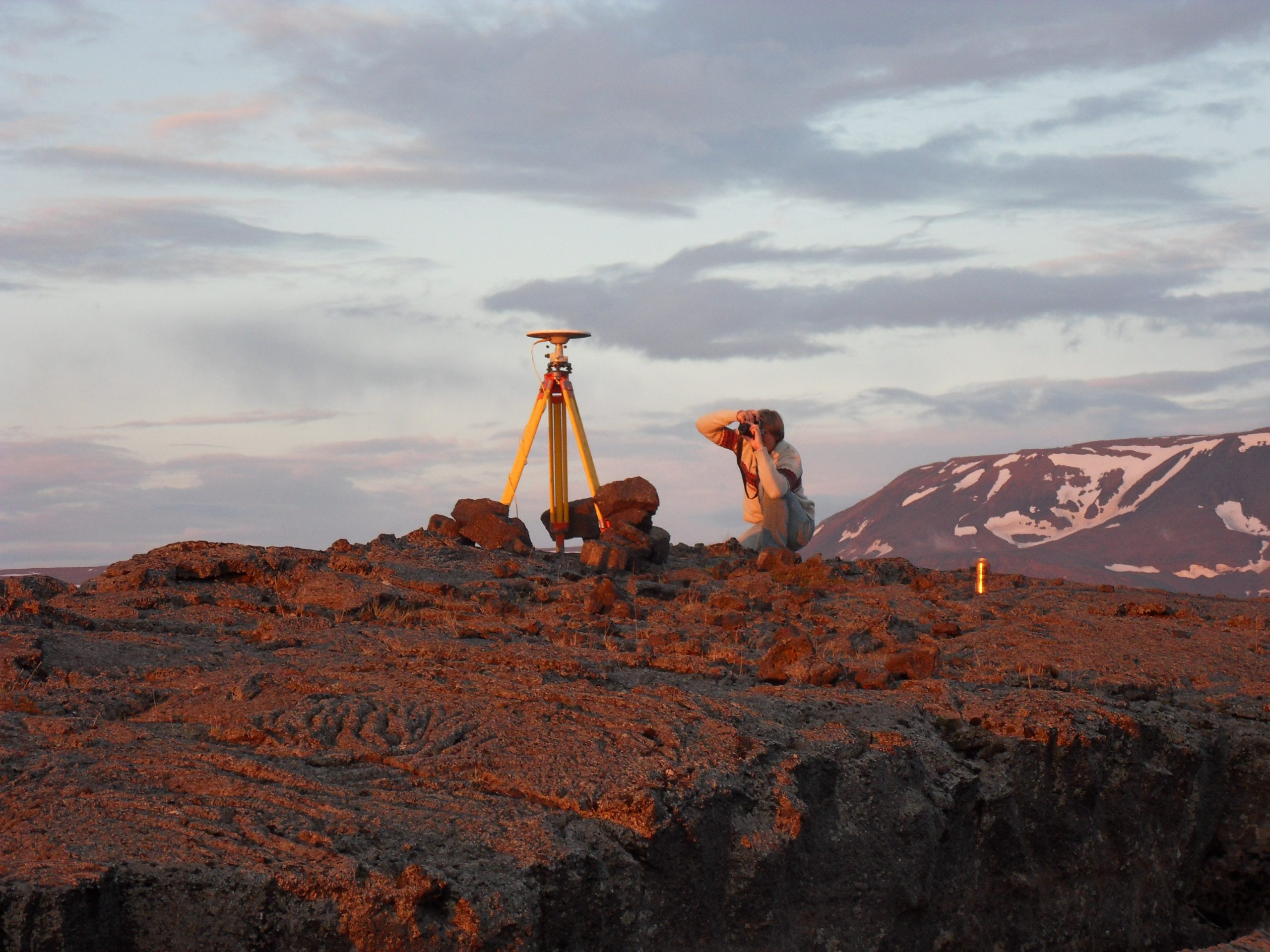

Whatever the outcome, the primary goal of the fieldwork for the students is getting acquainted with practice: planning the measurements, selecting and combing various techniques and performing the measurements in highly variable weather.
The general trend in the data was subsidence, as expected. But further analysis and fitting the newly acquired data into the existing time series will be needed to help determine the underlying geophysical processes.
Read the students’ own report on their weblog


Comments are closed.