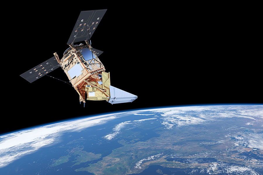
The Sentinel-5P satellite was launched on October 13 from a Russian Rocket. It carries the most precise pollution measuring instrument ever made. Delft researcher Pieternel Levelt initiated the work on this device called the TROPOspheric Monitoring Instrument.
The Sentinel-5P satellite was launched on October 13. (Artist Impression: ESA)
“I can still hardly believe what we have accomplished,” says Dr Pieternel Levelt of Delft’s atmospheric remote sensing group and the Royal Netherlands Meteorological Institute (KNMI). “My group at the KNMI is leading this project. I am proud of it. TROPOMI is the most precise instrument in the world to measure air pollution.”
TROPOMI will be able to study pollution with a spectacular 7 by 3.5 kilometre resolution and hence locate sources of pollution. This makes TROPOMI ten times more precise than OMI, its precursor. OMI has been in operation since 2004 and is still producing important data. “OMI boasts the longest measurement series for nitrogen dioxide and sulphur dioxide in the atmosphere,” says Levelt who is also the principal investigator of OMI and talks about it lovingly.
The satellite Sentinel-5P revolves around the earth from pole to pole at an altitude of 824 kilometres. Its pass over the equator shifts westwards at every new round, thus allowing the satellite to scan the complete earth atmosphere every 24 hours. It revolves around the earth 14 times a day.
‘We can identify emissions from the port of Rotterdam’
Both TROPOMI and OMI monitor various pollutants which affect the air quality and climate. “Economic activities and other human interventions related to energy production using fossil fuels which impact on the atmosphere can be traced through the amount of nitrogen dioxide produced by a given country. With TROPOMI we should be able to identify different sources of air pollution; emissions from the port of Rotterdam for instance and the pollution produced by the city centre.”
The new instrument is also capable of measuring the two main greenhouse gases: methane and ozone in the troposphere, the lower part of the earth’s atmosphere.
So when can we expect the data to appear? “Six months from now we will start publishing data online. The data are open sourced and free for everyone to use. We will start with ozone, then nitrogen dioxide and methane will follow later. The data are almost real time. There is only a lag of three hours between the moment of measurement and publishing on the website.”
Heated, cooled and calibrated
Over the coming months, the instrument will be heated, cooled and calibrated. “As soon as the satellite was in orbit we heated the instrument up to 38 ºC,” says the Delft researcher. “By doing so, we can clean it. We get rid of water vapour and pollutants that clog around it during take-off. This process takes about a month. After that, certain parts of the instrument are cooled to 150 Kelvin (- 123 ºC); a temperature required to perform precise measurements. And then it is calibrated. The launch is a violent happening with lots of trembling. We need to make sure that everything still functions the way it did on earth.”
The TROPOMI project was commissioned by the Netherlands Space Office and is financed by the Ministries of Economic Affairs; Infrastructure and Environment; and Education, Culture and Science; as well as the European Space Agency.
Further reading:
Space industry can start building the 45-million euros Tropomi
Stories of Science: Globally mapping air pollution


Comments are closed.