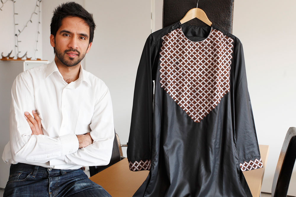
Although Kazem Moallemzadeh was born 25 years ago in Iran, where has parents had fled to as refugees to escape the war in Afghanistan, and although he has never lived in Afghanistan, he still feel himself very much an Afghan.
The piece of clothing shown in the photo is a traditional robe, called the peran tomban. He bought it last year in Saudi Arabia, where he went for the Hadj, the pilgrimage to Mecca. He wears his peran tomban regularly, during traditional Afghan feasts and weddings.
As the Pacific plate moved westwards and pushed itself underneath the North American plate, on which Japan is partially situated, strain energy built up in the crust. At the same time, Japan was being crushed, making it ever slimmer. When the strain energy was released, during the earthquake on the 11th of March, Japan rebounded. The east coast of the main island of Honshu subsided up to a meter, while the entire island expanded by four meters and also moved several centimeters eastwards.
Professor Ramon Hanssen has a picture from ESA on his desk on which brightly colored circles show how Japan changed shape. “Based on the motions observed in Japan until now, we expect that most of the energy in the crust has probably been discharged,” the earth observer says.
But to date only the rough contours have been sketched, as based primarily on satellite radar data. In order to model the tensions left in the earth’s crust along the boundary between the tectonic plates, the radar data must be analyzed more accurately and combined with GPS and seismic data.
Even better would be to add another information source to the data set: the tsunami. The researchers however do not have radar images from the ocean floor nor GPs stations on the bottom of the sea. To gain greater insights into the uplift of the ocean floor, Prof. Hanssen, geophysicist Dr Andy Hooper, and researchers from the Astrodynamics & Space Missions group teamed up with hydraulic engineers from the faculty of Civil Engineering and Geosciences, who are presently modeling the tsunami. The team of hydraulic engineers – which includes tsunami expert, Dr Julie Pietrzak – use data obtained from buoys in the Pacific Ocean. “We can use our model to verify if the models of the earth are correct,” Dr Pietrzak comments.
On Friday, Dr Hooper will present the Delft strategy in Vienna, during the annual meeting of the European Geophysical Union.


Comments are closed.