We still have the images of the churning gully Geul in our minds. Climate change is leading to more extreme showers. PhD candidate Kai Lochbihler (CiTG) shows us how.
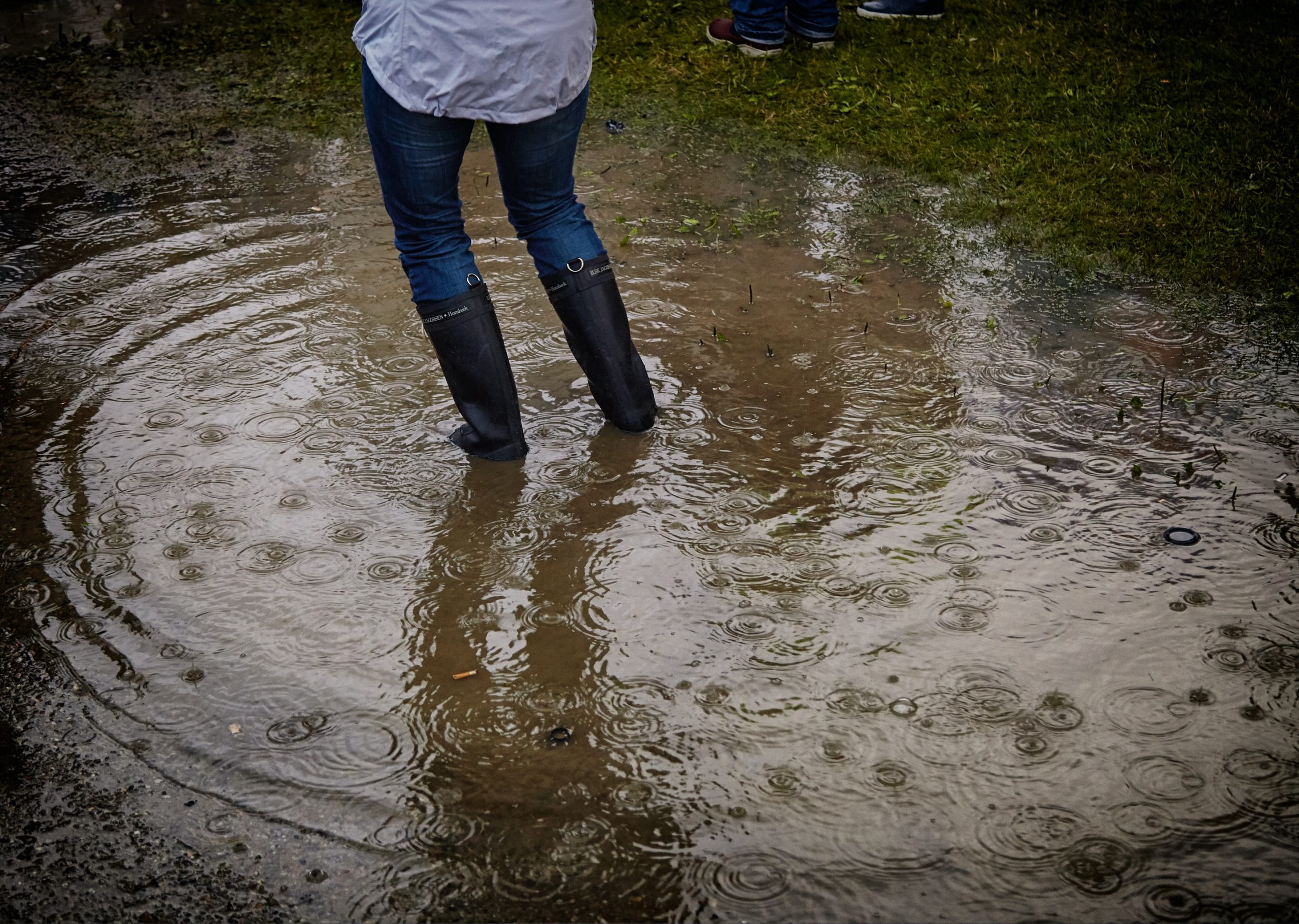
In the summer you'll also need wellies (Photo: Vidar Nordli Mathisen | Unsplash)
Last summer’s floods in the south of the Netherlands were caused by extreme and prolonged rainfall over the border area of Germany, Luxembourg, and Belgium. According to the latest counts, the disaster cost the lives of more than 200 people. There were no victims in the Netherlands, but various municipalities in Limburg, including Valkenburg, experienced serious flooding and damage.
In his PhD thesis, Kai Lochbihler writes: ‘The frequency of extreme storms that are accompanied by a great deal of economic damage and casualties has increased sharply in recent decades.’ He wonders what the connection is between more extreme showers and climate change. He conducted his research in the Atmospheric Remote Sensing group of the Faculty of Civil Engineering and Geosciences under Professor Pier Siebesma.
Lochbihler describes three steps in which summer rain can turn into an extreme downpour.
- Warmer air contains more moisture, and this happens exponentially. For every degree warmer, the moisture in the air increases by 7%. Meteorologists call this the Clausius-Capeyron law (CC). On average this is true, says Lochbihler, but locally the increase is much greater than the 7% per degree. So there is something else at play.
- Because 7% more water condenses in the clouds, more heat is released, which increases the upward airflow in the cloud. This creates stronger upward currents and more moisture convergence in the cloud. Meteorologists speak of ‘super-CC behaviour’.
- Lochbihler’s analysis of rainfall data shows that the intensity of showers is related to their size. ‘Both characteristics jointly increase,’ he writes, ‘meaning that stringer rain events are generally larger in size.’ Increased rainfall occurs over the entire area of the event.
Lochbihler also simulated the atmospheric processes in the sophisticated computer simulation programme Large Eddy Simulations (LES). This also showed that in a warmer and more humid world, rain ‘cells’ become larger and more intense while the number of smaller rain cells decreases. Even more reason to hope for binding agreements at the end of the climate summit in Glasgow.
Last summer, there was also something else going on: A low-pressure area lingered over the area for days. Professor Siebesma earlier commented on this: “Areas of low pressure draw air from the surrounding area. The air was extremely humid because it was warm, and it had rained a lot in the previous weeks. The air gathers in the low-pressure area and is squeezed out like a sponge. Normally a low-pressure area moves with the flow in higher layers of air – the jet stream. This time, it stayed in place and on one day there was up to 150 mm of rain locally. The Netherlands normally receives 800 mm in a whole year. Whether the standstill of the low-pressure area is also a consequence of climate change, we don’t know yet.”
- Kai Uwe Lochbihler, Extreme Convective Precipitation Events in a Changing Climate, 8 November 2021, supervisor Prof. Pier Siebesma (CiTG), co-supervisor Dr. G. Lenderink (KNMI).
Do you have a question or comment about this article?
j.w.wassink@tudelft.nl


Comments are closed.