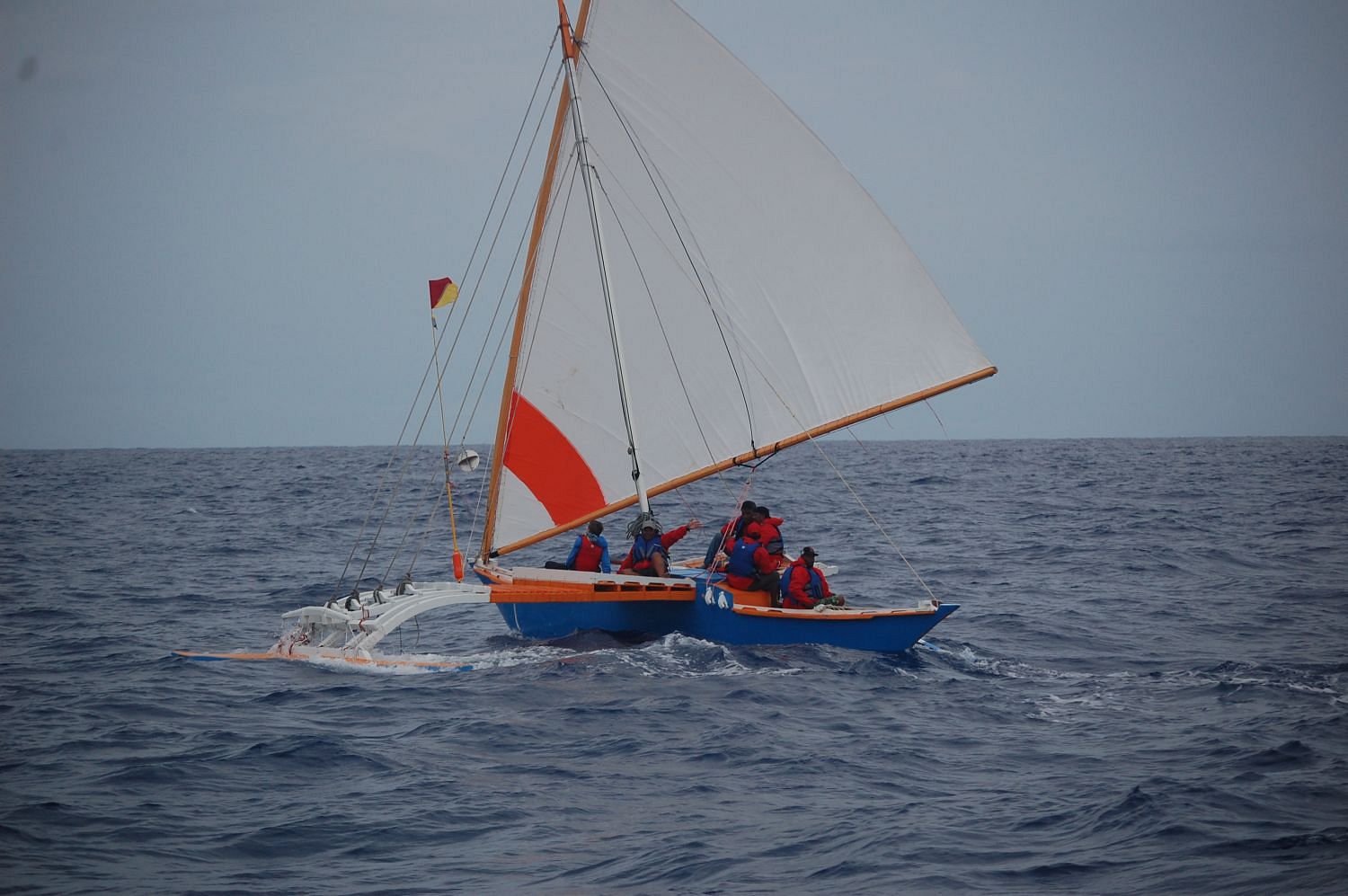
Oceanographer Dr. Gerbrant van Vledder sailed 200 kilometres across the Pacific Ocean to study the ancient Marshallese art of ‘wave reading’.
To the amazement of Westerners, the original inhabitants of the Marshall Islands were able to travel back and forth between islands using the swell of the ocean as a navigational tool. Only a few islanders still master this skill. TU Delft’s oceanographer Dr. Gerbrant van Vledder of the Faculty of Civil Engineering and Geosciences took part in an expedition to investigate the principles of wave navigation before it is too late.
At night, the islanders used the stars, sure. But they had another navigational compass as well, which for years puzzled scientists. They call it the di-lep. The di-lep are paths between the islands, kind of like wave roads. When oceanographers from the University of Hawaii came to look for these wave patterns, their equipment failed to detect them. Are these wave roads between all of the 33 atolls and islands then imaginary?
Van Vledder believes they are for real. Last June, he and oceanography professor Dr. John Huth of Harvard University undertook a sailing expedition in the Marshall Islands with an outrigger canoe, a type of catamaran, to try to understand these traditional methods of wave navigation. They sailed with Captain Alson Kelen, who is possibly the world’s last student of traditional wave navigation. The journey lasted five days and took them from the island of Majuro to the isle of Aur and back, just as planned.
“A fascinating aspect of wave navigation is how the sailors detect the presence of nearby islands, up to a distance of 40 kilometres away,” said Van Vledder in a TU Delft press release. “Islands can influence wave propagation in some different ways. They can block the waves so that there is a shadow zone in the lee of the island. The bending of waves around an island can also change the direction of the waves and create interference patterns, and the waves can even rebound off islands.So islands create subtle changes in wave properties, which the trained eye can pick up on. This enables the navigators to determine their position.”
“The special wave effects, such as the di-lep path through the waves, is enigmatic. There is no scientific explanation for this yet. Kelen managed to find his way based on the di–lep, he said. He can feel these patterns by the way the boat moves. We, as outsiders don’t see or feel any outlines of a wave-road.”
Back home Van Vledder and Huth added wind data collected by satellite and local bathymetry, using programmes such as SWAN and SWASH, written at Delft, to create a computer model of the seas they had been sailing in.
What they couldn’t feel or see with the naked eye, they could now detect on the computer. As they filled in the coordinates Huth had recorded atop Van Vledder’s model of sea conditions, they discovered that the route they had taken was perpendicular to an eastern swell flowing between Majuro and Aur. At places where the swell, influenced by the surrounding atolls, turned a little bit northeast or southeast, the path bent to match. It was a curve. The researchers are currently working on a paper on the subject.
Another aim of the research was to fit the traditional terms of the islanders into our Western terminology for wave phenomena. “There is not only a language barrier but also a conceptual barrier; for example, the Marshallese navigators have all sorts of names for wave phenomena, but it’s not always clear to us what they mean”, explained Van Vledder.
For this reason Dr. Joe Genz, a professor and anthropologist from the University of Hawaii, joined the expedition. He observed how Alson Kelen navigated and asked him about how he was reading and interpreting the waves.
The trip was a partnership project between the University of Hawaii and Waan Aelon, a local organization in Majuro that works on the construction of traditional outrigger canoes.


Comments are closed.