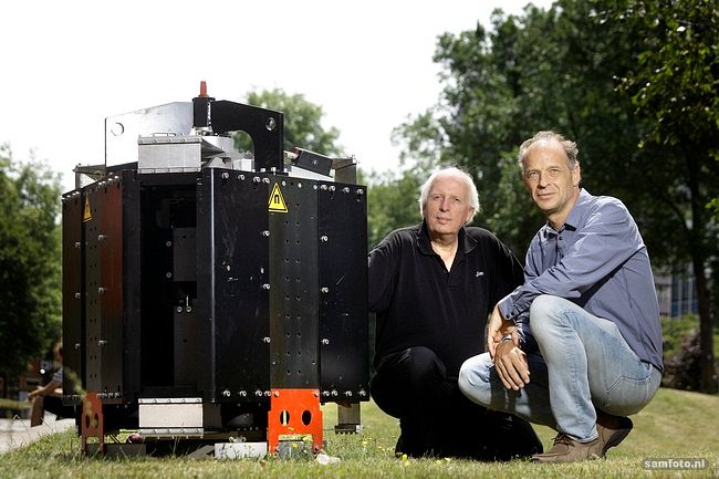
Measuring seismicity in the earthquake prone province of Groningen with unprecedented resolution. This is what Kees Wapenaar is about to do, using part of a €2.5 million grant.
Professor of Applied Geophysics, Kees Wapenaar (Department of Geoscience & Engineering), received an ERC Advanced Grant this summer worth €2.5 million to develop technologies to improve the monitoring of earthquake prone areas.
One thing that Wapenaar wants to do, together with his colleague Dr Guy Drijkoningen, is to map the fault lines sectioning the gas reservoir.
The Delft researchers plan to measure seismicity on very high spatial resolution using fibre-optic cable.
The Delft researchers plan to measure seismicity on very high spatial resolution using fibre-optic cables instead of geophones. Geophones are usually used for seismic measurements, but they may become unreliable due to corrosion, electrical leakage, or sensor degradation. And they are expensive.
“Nowadays, fibre optic technology can also be used to measure acoustic and seismic signals,” says Drijkoningen. “The fibre only costs €1 per metre. And I can leave it in the ground for twenty years or more.”
Contractors are about to bury ten kilometres of cable in several transects in an earthquake prone area in Groningen. The cables will be laid at a depth of between 60 and 120 centimetres.
Wapenaar will create virtual seismic sources and virtual seismometers anywhere in the subsurface
Wapenaar will use the measurements obtained by the cables to work on a technology he calls Virtual Seismology (VS). He will create virtual seismic sources and virtual seismometers anywhere in the subsurface, based on seismic reflection measurements carried out at the earth’s surface.
“VS accurately mimics the responses to actual earthquakes, which will be recorded by buried seismometers,” says Wapenaar. “This will allow us to identify the characteristics of induced earthquakes, quantify the ground motion and monitor the geomechanical state of the area over time.”
Do you have a question or comment about this article?
tomas.vandijk@tudelft.nl


Comments are closed.